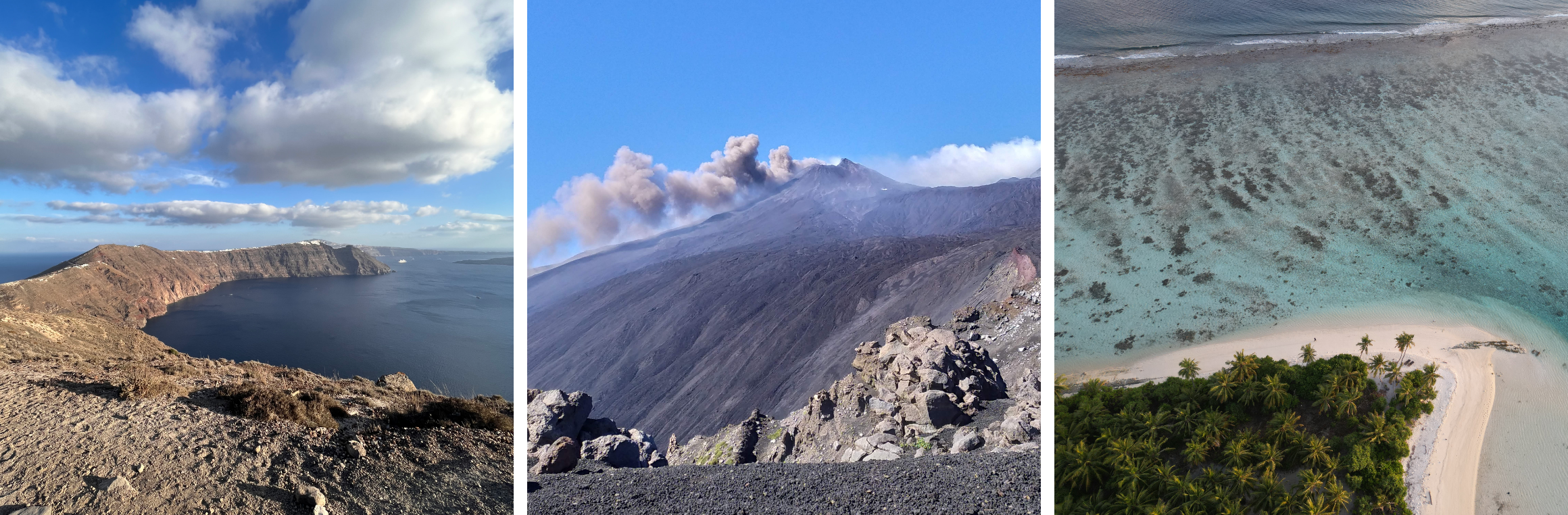
BridgET has been designed to develop innovative and inclusive teaching methods to upgrade key skills and scientific expertise in the field of 3D geological mapping for reliable integration of onshore and offshore multi-scale geospatial datasets. It aims to provide standardized workflow for 3D reconstructions of coastal regions and submarine environments.
An accurate integration of both terrestrial and submerged geospatial datasets is a practice that represents a major gap in coastal management. Indeed, it still needs to be addressed in many countries, where climate change, rising sea levels, tectonic and marine geohazard of different nature are significant environmental issues. Accordingly, and through the implementation of project activities, BridgET will seek to provide innovation in the way in which coastal and marine geosciences are taught. Emphasis will be placed on the use of Virtual Reality (VR), not only as a tool to improve student engagement in the investigation and spatial understanding of coastal and submarine environments, but also as a vehicle to promote inclusion in the field of geosciences.