The project has been designed to develp innovative and inclusive learning and teaching activities through the organization of dedicated summer schools for MSc students. Schools will focus on giving students a hands-on experience of the variety of methods and approaches adopted in geospatial data acquisition and processing for the seamless generation of 3D models (i.e. Digital Terrain Models - DTM) of coastal regions.
Three case studies have been selected to approach a coastal geohazard assessment based on an immersive observation of geomorphological data/geological phenomena and human interaction with physical processes from multiple perspectives. Practical activities will be carried out:
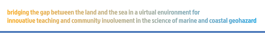
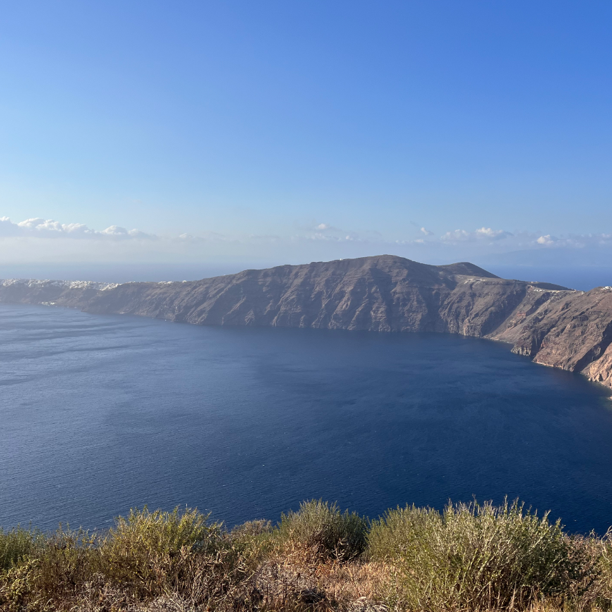
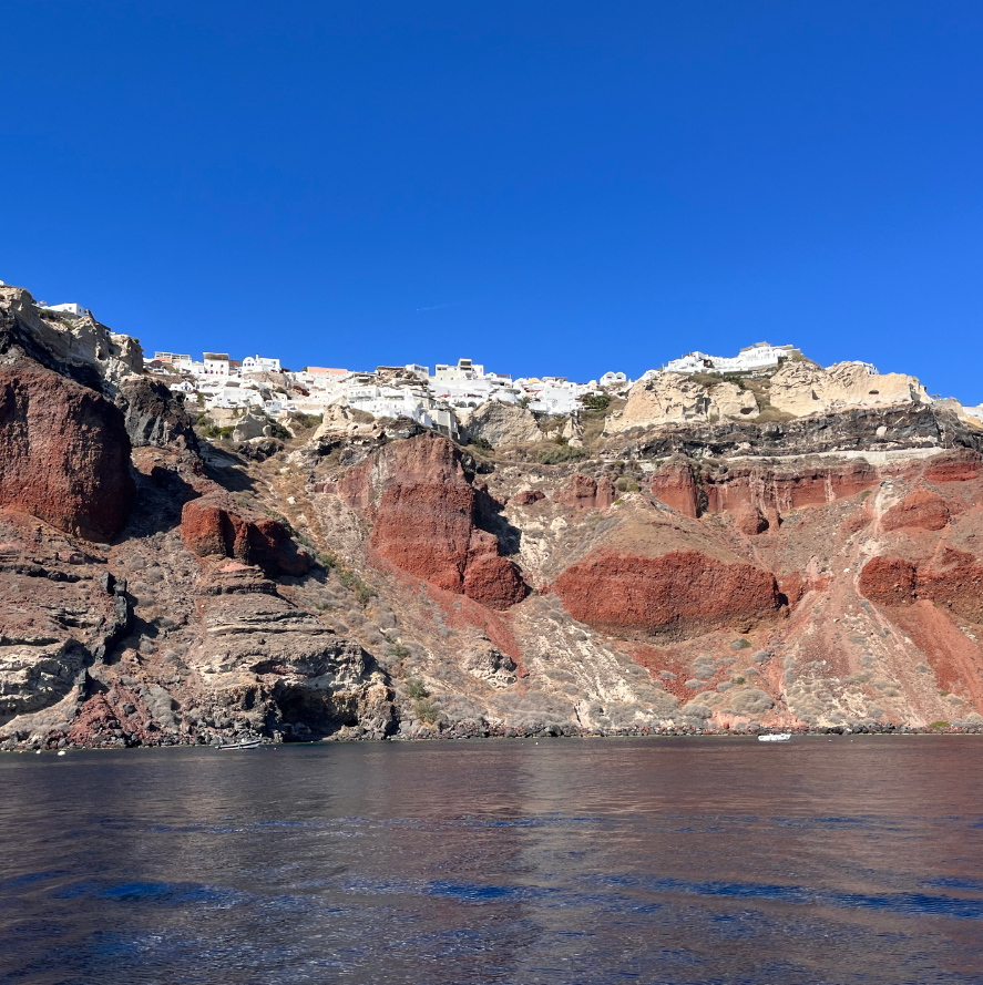
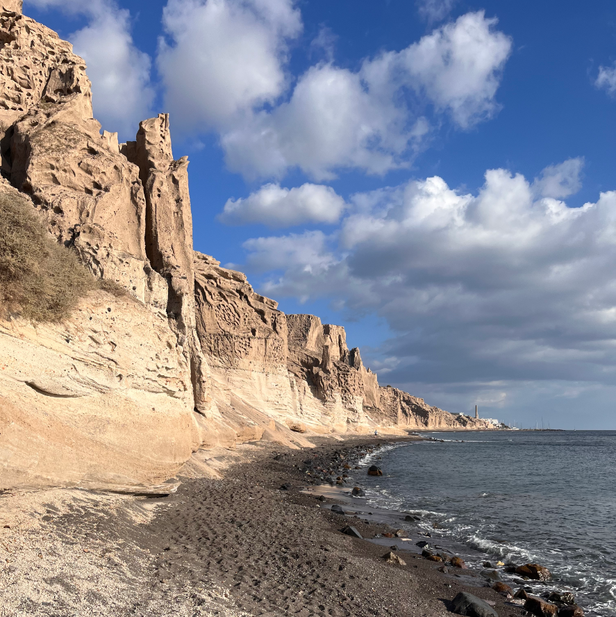
- in Santorini
- on Mount Etna
- in the Maldives
All areas have been and are currently studied by project partners, which have already collected a consistent amount of data in these regions. Such areas are particularly sensitive to a number of different geohazards, and pose different challenges to the local population and socio-economic framework. We will provide specific multi-scale and multi-source geospatial datasets for each coastal region, further supplemented with dedicated surveys undertaken during the summer schools. Students will have the opportunity to experience the use of innovative technologies on the field, and to process data by using dedicated software. They will test their knowledge to assess real problems in real contexts. Final goal will be the provision of a coastal geohazard assessment with proposal for management measures.
Geospatial data integration will lead to the creation of a VR learning environment with several tolls and toolkit, which will allow both students and teachers real-time navigation to study and analyze processes and environments otherwise impossible to observe. All the involved universities will promote a new approach for teaching and training activites in the field of marine geosciences, to be implemented in their educational program at MSc level. Such new methods will be designed in order to promote a more inclusive geoscience curriculum that can also be followed by students having special educational needs, a very challenging issue where terrain field activities are required. We believe that 3D immersive teaching of "hard to reach" palces is a great way to bring both onshore and offshore environemnts directly into the classroms. Students of any gender, race, culture, etc..., may have access to them, and they will learn skills and competencies required by the labor market.
We planned three trasnational project meetings to precisely define and plan:
- all the project activities, especially the summer schools
- the expected project results
- the organization of multiplier events
During the first Kick-off meeting, a Management project Committee (MC) will be established, with a selected representative from each of the partners. The MC will be in charge of the executive management, and it will ensure the adherence of all activities to the project timetable supporting a unique decision-making process capable of ensuring a balanced management of the implementation.
Besides teaching activities, multiplier events and a variety of outreach activities will be organized.
One national multiplier event will focus on encouraging a more effective communication between academics, scientists, industries, professionals and social parties, with the goal of gathering information to better design a new curriculum in marine geohazard assessment and sustainability of coastal regions, and to promote a major inclusive perspective in the labor market showing the BridgET approach.
A second one, planned towards the end of the project, will be organized as a side event within the framework of a relevant international conference in geosciences (EGU or analogue), to facilitate dissemination of project results (i.e. best practices to generate seamless 3D models for coastal and marine research, geohazard management practices) and to give demonstration on the effectiveness of VR in improving teaching methods and in increasing awareness on marine and coastal geohazard in the society.
Data and products produced by the project will be also used to integrate outreach activities commonly carried out by participants.