PARTNERS
ORTHODRONE GMBH
Orthodrone GmbH is a small-sized enterprise based in Kiel, Germany, and established in 2018. It offers aerial services for business and research projects. Using UAVs, photogrammetry, multi-spectral and LiDAR technology, the company has a proven track record as a reliable partner for surveying, modeling, and surface analyses as well as hybrid unmanned aerial system (UAS) platform solutions. Orthodrone uses in-house hardware solutions and metric sensor systems for the acquisition of high-precision datasets. The team involved in the project will contribute in practical teaching activities focused on the acquisition and processing of multidimensional spatial data acquired with UAS and LIDAR for applied environmental research, and in defining best practices for the generation of shallow water bathymetry (i.e. digital elevation model of shallow environments) applying photogrammetry-based techniques to UAS imagery.
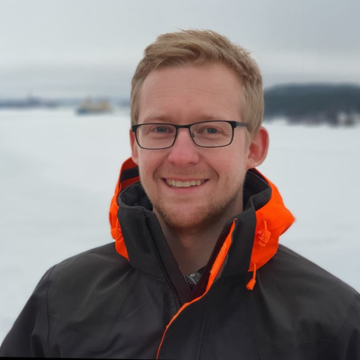
Juri Klusak
Founder & CEO. He has a B.Sc. in Geography. He specialized in coastal geography and UAS technology during his studies at Christian Albrechts University in Kiel. Juri further advanced his practical skills working as a research assistant at the Kiel University Department of Geography. As part of his thesis, he developed the drone-based change analysis model that led to the original data-driven business case for Orthodrone. Juri developed a strong professional network both during and in the years following his studies. Since 2019 he has been a co-convener for the UAS session of the General Assembly of the European Geosciences Union (EGU). This network has enabled him to connect with multiple partner companies in science and industry and become the driving force for Orthodrone’s recognition on the global market. In 2019, Juri and Orthodrone co-founder Julian Teege joined the International Program at the Plug and Play Accelerator in Sunnyvale, CA, where the initial idea of the PIVOT technology and UAS-platform was born. Juri has worked in remote and inhospitable locations for Orthodrone, leading projects atop tropical glaciers in the Andes in late 2018 and Antarctica in 2020. He is currently responsible for company Research & Development, Marketing, and Sales, where he combines comprehensive technical expertise for sensor systems, photogrammetry and LiDAR technology, and spatial data analyses with a hard-earned access to the high-level, niche markets Orthodrone operates within.

Julian Teege
Founder & COO. He is a specialist in the field of environmental monitoring and spatial data management. He has a B.Sc. in Geography. His studies featured an environmental-geographical focus, which he applied as a working student in the environmental planning office GFNmbH. Julian continued this dual emphasis in his master’s thesis, during which he prepared a drone-based soil erosion model for agricultural areas. During his volunteer work at AIESEC in Kiel, Julian served as Chairman of the Board, led various teams, and gained important experience in the areas of financial planning, project management and team management. Accordingly, his current area of responsibility at Orthodrone lies in project planning, spatial data handling and analyses.

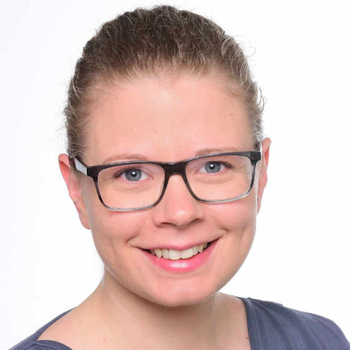
Clara Drummer
Research and Funding. She graduated in Archaeological Sciences at the universities of Erlangen and Kiel, Germany, and finished her Ph.D. in Pre- and Protohistoric Archaeology in 2020. Over the course of several years, she focussed on the 3D-documentation of archaeological sites utilizing UAS-based photogrammetry. From 2017 to 2020, she focussed on human-environmental interaction in prehistoric and archaic societies as a research associate at Kiel University, within the DFG-funded interdisciplinary project CRC 1266 “Scales of Transformation''. At Orthodrone she manages research projects and third-party funding opportunities, finding new ways to apply our technology and services.


