PROGRAMME - MT. ETNA SUMMER SCHOOL
CLASSROOM SESSIONS
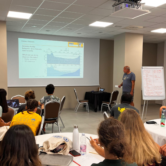
Classroom sessions focused on the geology of Mt. Etna, one of the most active volcanoes in the world, with a special emphasis on its interactions with the nearby coastal and marine environment. Key topics included volcanic eruptions, lava flows, submarine volcanic deposits, and the impact of seismic activity on coastal areas. We also had distinguished guest speakers from INGV who shared their expertise on volcanic processes and monitoring, drawing from their fieldwork on Etna’s coastal regions and nearby underwater volcanic features.
Lectures covered the BridgET's essential scientific and technical aspects, introducing students to field methods and instruments such as UAV-based remote sensing, photogrammetry, thermal imaging, and gas monitoring techniques. Special attention was given to seabed mapping technologies, Remotely Operated Vehicles (ROVs), and underwater photogrammetry, highlighting the role of digital tools like VR in visualising both volcanic and coastal landscapes.

FIELDWORK
Fieldwork during the summer school combined geological field trips with hands-on data collection using various scientific instruments. Students explored key volcanic and coastal sites around Mt. Etna, conducting UAV surveys and geological observations to analyze the volcano and nearshore geomorphology. A dedicated excursion on Mt. Etna included scarp analysis with UAV data acquisition, allowing students to document volcanic structures and assess recent activity. Additionally, Ambient noise seismic exercise was carried out to understand ground deformation and seismic activity related to Etna’s ongoing eruptions.
Three boat surveys were conducted to map the seafloor near the Aci Trezza coast, around Lachea Island, using UNIMIB's MBES and taking advantage of the coastal hydrographic vessel of Geonautics company, providing insights into underwater volcanic formations and demonstrating the shore to sea continuity of such geomorphological structures. Furthermore, the participants had the opportunity to witness a Side Scan Sonar survey conducted through a cutting-edge platform, an ASV. These activities provided participants with practical experience in data collection and hazard assessment, bridging the connection between terrestrial and marine geological processes.
LABORATORY SESSIONS
During the laboratory sessions students were exposed to various instruments and data processing methods through hands-on demonstrations of technical specifications and their applications. Participants had the opportunity to work directly with the datasets collected during the Summer School.
Students gained practical experience using diverse software tools, such as QPS Qimera for processing MEBS data from boat surveys, Agisoft Metashape for photogrammetric processing of aerial drone images, and ESRI ArcGIS Pro for spatial analysis. CloudCompare was utilized to analyze point clouds generated from UAV surveys, while seismic data was processed using Geopsy. Moreover, students examined innovative ways to interact with geological data via VR tools, including Oculus, 3D Pluraview screens, and 360° cameras. These technologies improved their ability to visualize and analyze terrestrial and coastal environments, enriching their understanding of geological processes.


OTHER ACTIVITIES
Side excursions featured visits to historical and natural sites around Mt. Etna. With guidance from INGV researchers, students explored the village of Aci Castello, and the Alcantara Gorges, created by ancient volcanic lava flows, offered a chance to admire the region's geological features.
They also toured the INGV real-time monitoring center (Osservatorio Etneo) in Catania. Participants were engaged by captivating presentations on real-time volcanic activity monitoring techniques delivered by the Institute's researchers. Additionally, they visited the Mt. Etna Serra la Nave Observatory, facilitated by INAF and Dr. Isabella Pagano. These cultural and scientific excursions enriched students' understanding of how volcanic landscapes influence both the environment and local communities, emphasizing the need for sustainable development in volcanic regions.